

1
of
3
Loading...
Buy now pay later with
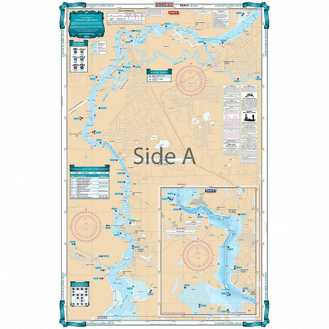
Waterproof Charts 137F Central St. Johns River Fishing Lake Fishing
WATERPROOF CHARTS | SKU:
740399013761
Sold out
$29.95
Unit price
/
Unavailable

Pickup Available
Pickup Available
Get your order packed within 4 hours.
Pickup available at store
4301 North Federal Highway
Pompano Beach FL 33064
United States
Need help?
Need help?
For any questions or assistance, feel free to reach out to our support team. We’re here to help!
📞 Contact Number: +1-877-337-9591
📧 Email: customerservice@chaosfishing.com
WARNING: For more information go to www.P65Warnings.ca.gov
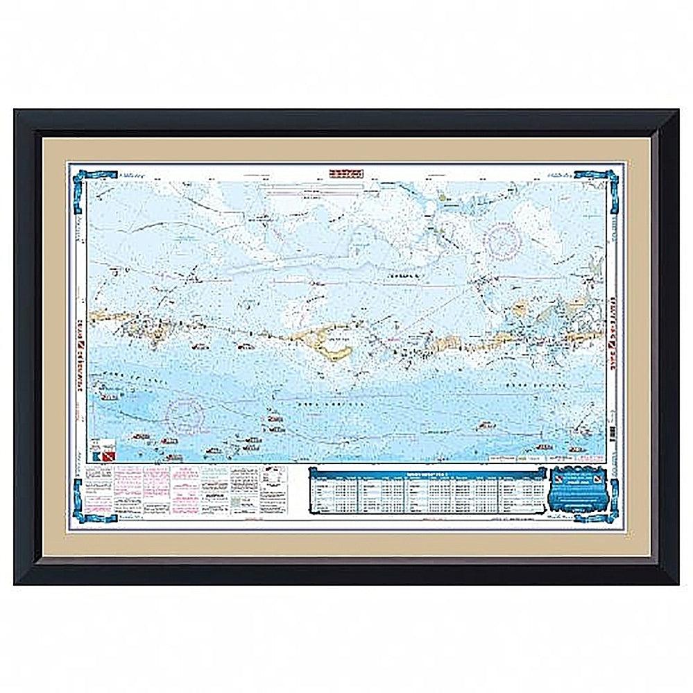
Covering the area from Lake George to Buzzards Island. This chart details all the major grass flats, marshes, and kayak trails. The chart pinpoints dozens of specific areas for the major species caught and best season to catch: Bluegill, Largemouth Bass, Channel Catfish, Bream, and Striped Bass. There is a handy marine facilities guide included, with locations of different boat ramps, all shown on the chart. You will love looking at this Lake George fishing chart. The artistic illustrations of a bass on one side and colorful fishing scene on the other make this navigation chart great for framing. This marine map covers the area from Lake George to Buzzards Island. This nautical map details all the major grass flats, marshes, and kayak trails. The chart pinpoints dozens of specific areas for the major species caught and best season to catch: Bluegill, Largemouth Bass, Channel Catfish, Bream, and Striped Bass.
Payment & Security
Payment methods
Your payment information is processed securely. We do not store credit card details nor have access to your credit card information.